Brazil


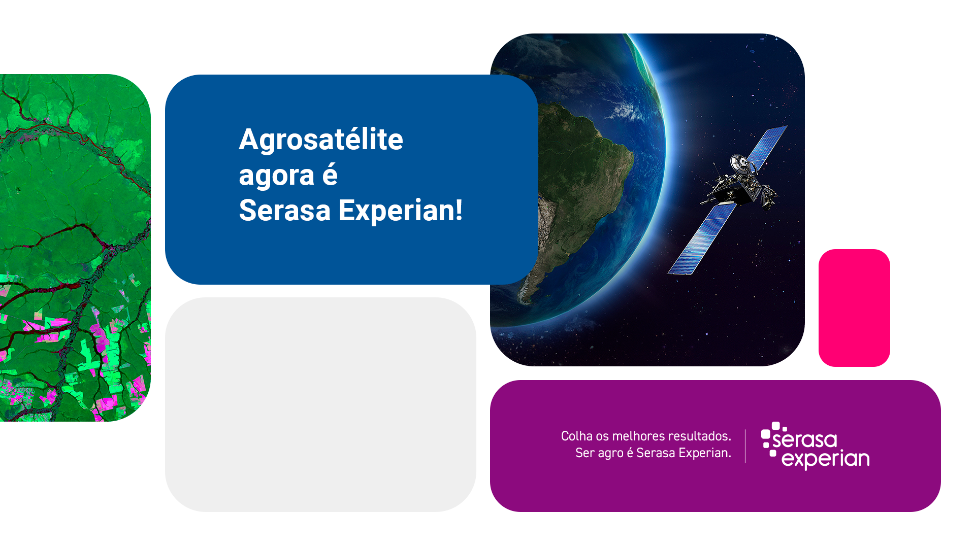
Entenda como nos unimos à primeira e maior Datatech do Brasil para levar mais inteligência e expertise para o agronegócio.
Monitor the socioenvironmental and financial risks of rural properties and producers.
Conheça as Soluções da Serasa Experian para Agro brasileiro.
“
“
"The reports issued by Agrosatélite are extremely relevant in our decision-making process for credit operations in which rural properties are taken in guarantee. In addition, through SIMFAZ, we constantly and effectively monitor the quality of our guarantee."
"Canasat is an innovative and very positive project for the sugar-ethanol sector. The information generated from the analysis of satellite images that include the monitoring of production areas, the mapping of crop expansion and the confirmation of the elimination of the pre-harvest burning practice, has been fundamental for the better planning of this industry."
"The innovative work carried out by Agrosatélite reflects the technical excellence of its team, the high focus on customer satisfaction and a firm commitment to the sustainable development of agribusiness."
"Considering the wide experience that I have with Agrosatélite and its team, I would like to express my certainty regarding the quality of the products that have been delivered to me. In addition, Agrosatélite has a relevant role contributing territorial intelligence to the national agricultural sector and collaborating in its path towards sustainability."
"Agrosatélite has been an important partner in the development of solutions for the mapping of irrigated areas, demonstrating commitment with results and high capacity for innovation."
"To plan a more sustainable future one has to analyse the present and model the future. Agrosatelite has been an important strategic partner for TNC, helping us to develop tools that enable us to fulfil our mission: the construction of an economy that reconciles development and conservation."
"We are pleased to be partners of Agrosatélite, as a provider of technological solutions in acquisition and processing of satellite images, combining professional conduct with technical excellence of the team."
"I have used Agrosatélite information for several years. I always have the guarantee of accuracy and results compatible with reality, which gives us the certainty of the credibility of this company. It works as a sort of "gauging" of other works. It is always an important technical reference."
"I have known the work of Agrosatélite for years, and it is undoubtedly one of the greatest references in remote sensing for agribusiness. We have already worked together on several projects, always with promptness, dedication and focus on quality and reliability. One of its biggest deliveries to society was the support provided to the development of Agroideal.org, overlaying, in a unique manner, the most relevant information for the sustainable expansion of agribusiness. It is also worth mentioning the monitoring skills of the team, that proactively presents solutions and provides advanced results."
"Agrosatélite has worked with the Brazilian Association of Vegetable Oil Industries - ABIOVE since 2013. With its highly skilled team and great competence, they perform the soy mapping in the Amazon and Cerrado biomes every year. We are confident to state that the national and international credibility of the Soy Moratorium - the largest commercial and environmental monitoring program in the world - is in significant part due to Agrosatélite, which is currently the best company in Brazil in its field of activities."
"The partnership with Agrosatélite has created a very favorable environment so that COFCO improves the understanding of the territories in which it operates. The innovative tools are helping us to trace the supplier chain, ensure the alignment with our policies and procedures, market opportunities and ensure that the established strategic goals set by COFCO will be reached."
"We use Agrosatélite's services because of the quality of deliveries. The team's professionalism and high technical level are, without a doubt, its greatest differentials in a market that is still learning to extract the best use of remote sensing tools. I see Agrosatélite as a point outside the curve among AgTechs companies that provide similar services."